
Understanding the Riverside Waterfront Market Micro-Areas
November 21, 2025
November 21, 2025
What if 50 feet on the shoreline changed your view, your boat size, and your insurance bill? In Riverside, it often does. If you are considering a waterfront home here, the exact micro-location on the water shapes your daily life, maintenance, and long-term value more than most buyers expect. In this guide, you will learn how the Mianus River, protected coves, and open Long Island Sound frontage differ, what to check before you buy or sell, and how those details affect pricing. Let’s dive in.
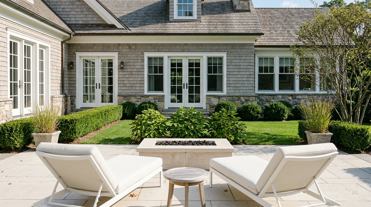
Riverside sits along the north shore of Long Island Sound with a mix of tidal river, intimate coves, and open-water frontage. Each water type delivers a distinct lifestyle and cost profile.
For tide and channel context, consult NOAA tide and currents resources and NOAA nautical charts and viewers.
Lots tend to be long and linear to a tidal channel, with narrower water frontage. The river is more sheltered than the open Sound, though currents can be strong in the main channel.
You get a quiet, private riverfront feel with tree canopy and protected views. It is great for kayaks, small powerboats, and inshore fishing. You trade wide-horizon vistas for intimacy and calm.
Your boat route runs down the Mianus channel to the Sound. Depths at mean low tide govern reliable boat size and timing. Docks are often fixed on piles or use small floats. Some parcels can support boathouses if geometry and permits allow.
All dock, bulkhead, and shoreline work requires careful permitting. For regulations and approvals, review CT DEEP coastal permitting guidance and coordinate with the Town. Sedimentation can affect channels, and any dredging is tightly regulated.
Privacy and sheltered mooring support healthy demand, but value is capped by usable dock size and depth to open water. Street-by-street differences hinge on channel depth, orientation, and whether a property has a documented deepwater slip versus only a small dock.
Coves are small embayments with calmer water than the open Sound, yet broader views than a narrow river channel. Many create natural anchorages with smooth water.
You get a balance of seclusion and scenery. Coves are well-suited for paddle sports, casual fishing, and family-friendly shoreline time. Views are often across the cove to green space or neighboring shoreline.
Access to navigational channels is typically more direct than a river, but boat size still depends on the cove mouth depth and any shoals. Some coves allow private or shared moorings, which are subject to harbor rules. For local oversight and mooring questions, consult Greenwich Harbor Management.
Dock installation and shoreline stabilization in coves follow similar state and town rules as other tidal areas. Some coves may be subject to additional harbor management overlays.
Coves often command premiums for sheltered, scenic frontage. Variations come from the depth and width at the cove entrance, sightlines across the cove versus obstructed views, and whether shoreline infrastructure is private or shared.
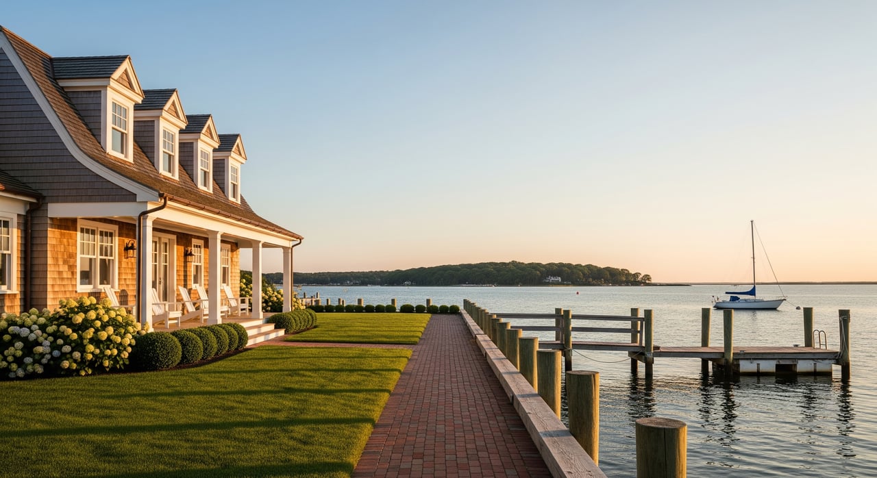
You face the wider Sound with sweeping horizon views and more exposure to wind, wave action, and storm surge. Shorelines here may include bluffs, beaches, or continuous seawalls.
This is “big water” living with year-round vistas and stronger breezes. If the parcel includes a usable beach, swimming and beach days can be a core benefit.
Open Sound frontage can support larger vessels when depth and dock capacity align. Local bathymetry still governs approach depths, so confirm specifics with charts and on-site assessments. For planning, refer to NOAA chart resources.
Engineered protection is crucial due to wave energy. Bulkheads, revetments, and related structures must meet state and federal standards. Expect higher construction standards and replacement costs. Review processes with CT DEEP coastal permitting and coordinate with Town departments.
Unobstructed Sound views and direct frontage often trade at the highest premiums, balanced against higher insurance, wave exposure, and maintenance.
Flood zone classification, elevation, and shoreline engineering affect both insurance and resale. FEMA’s modernized pricing method, Risk Rating 2.0, changes how premiums are calculated based on property-specific risk. To understand your parcel’s flood status, review your map panel at the FEMA Flood Map Service Center and obtain an elevation certificate if applicable. V zones typically imply wave action exposure and higher premium potential than A zones. Bulkhead condition, elevation above Base Flood Elevation, and mitigation measures influence insurability and cost.
For permit history and construction compliance, coordinate with Greenwich Building Inspection and Town Engineering. Harbor-related questions can be directed to Greenwich Harbor Management.
Waterfront value in Riverside is hyperlocal. The best decisions come from pairing lifestyle goals with verified data. Start by reviewing NOAA charts for approach depths, checking your flood panel at the FEMA Flood Map Service Center, and confirming any shoreline permits through CT DEEP coastal permitting and the Town’s Building Inspection team. When you are ready to align these details with pricing and negotiation, let’s connect for a focused, confidential strategy.
Ready to evaluate a Riverside waterfront property with a clear plan? Let’s connect — schedule a personalized consultation with Brid Mortamais at Unknown Company.
Stay up to date on the latest real estate trends.


Brid is a full-time agent with a deep understanding of the local market and provides exceptional service for each of her clients whether they are renting, buying, or selling. She handles every aspect of each real estate transaction, guaranteeing her buyers and sellers the highest level of honesty, attention, and discretion.